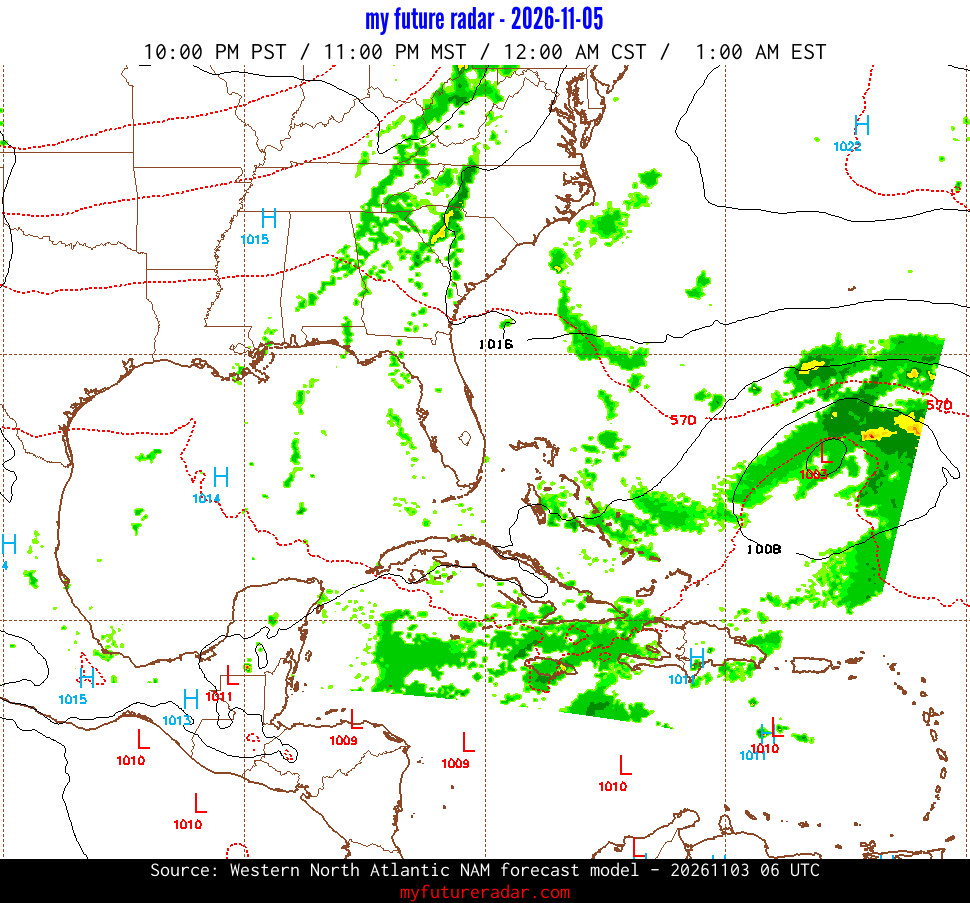
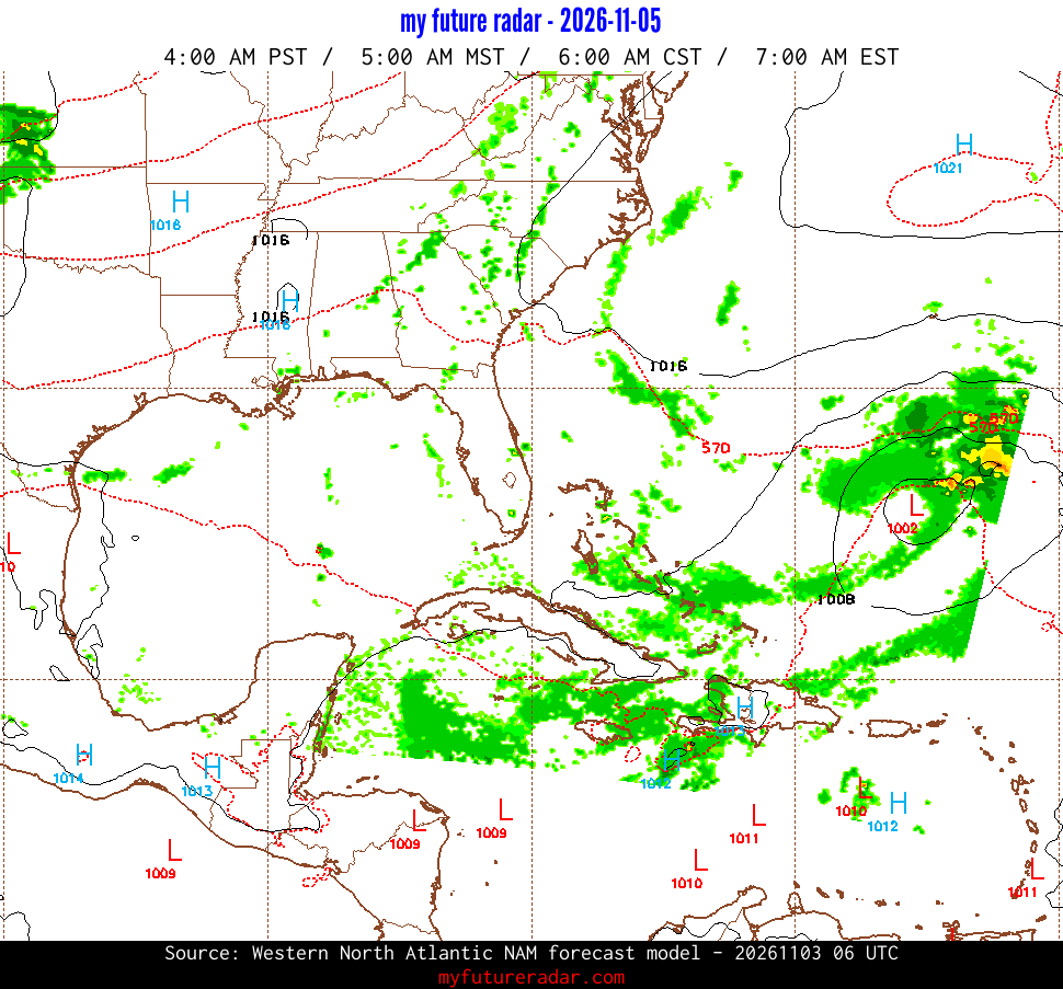
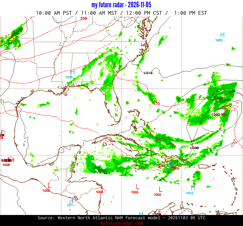
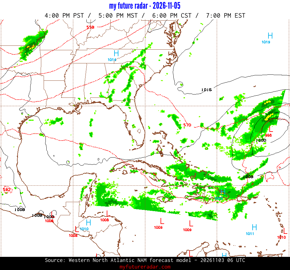
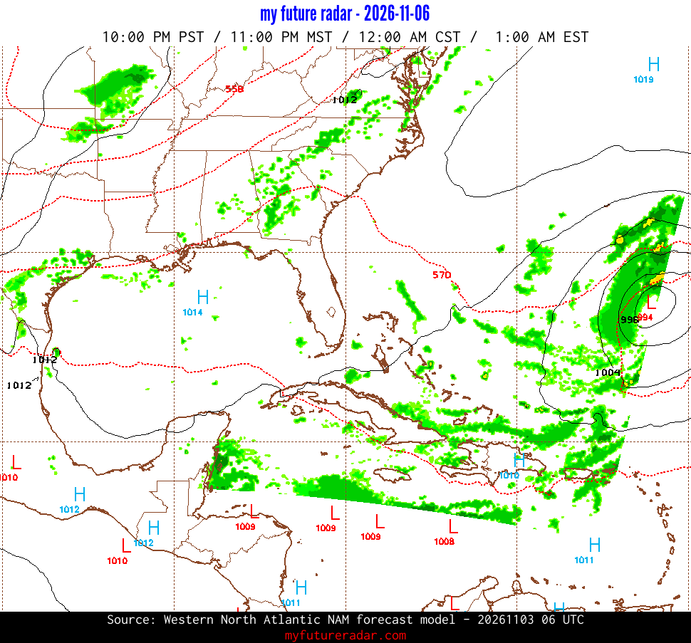
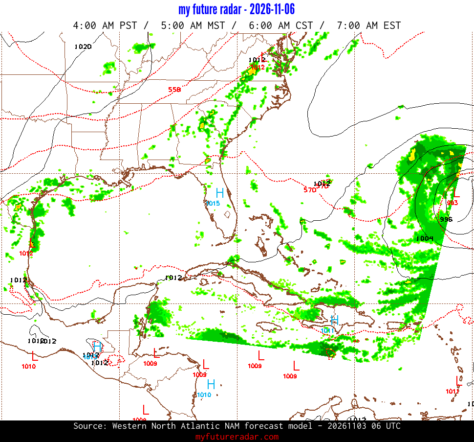
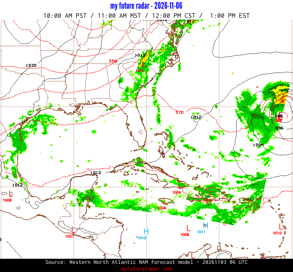
Western North Atlantic NAM is no longer updated.
NOAA retired this model on November 3, 2026, so this is its last forecast, kept for reference.
For current forecasts, see
Rapid Refresh
or the new
RRFS forecasts .
Tuesday, Nov 3
Thunderstorms with potential for isolated severe wind gusts and perhaps a brief tornado or two will be possible today from the Sabine and Lower Mississippi Valleys northward into the Mid Mississippi Valley.
Wednesday, Nov 4
Severe storms are unlikely on Wednesday.
Thursday, Nov 5
Severe storms are unlikely on Thursday.
Loop of Future Radar Imagery - Western North Atlantic NAM
If you prefer, you can
jump to the individual images .
Western North Atlantic NAM is no longer updated.
NOAA retired this model on November 3, 2026, so this is its last forecast, kept for reference.
For current forecasts, see
Rapid Refresh
or the new
RRFS forecasts .
Individual Radar Forecast Images
The following images were created from data from the
2026-11-03 06:00 UTC.
It covers the time period from
2026-11-03T06:00:00Z
to
2026-11-06T18:00:00Z
.
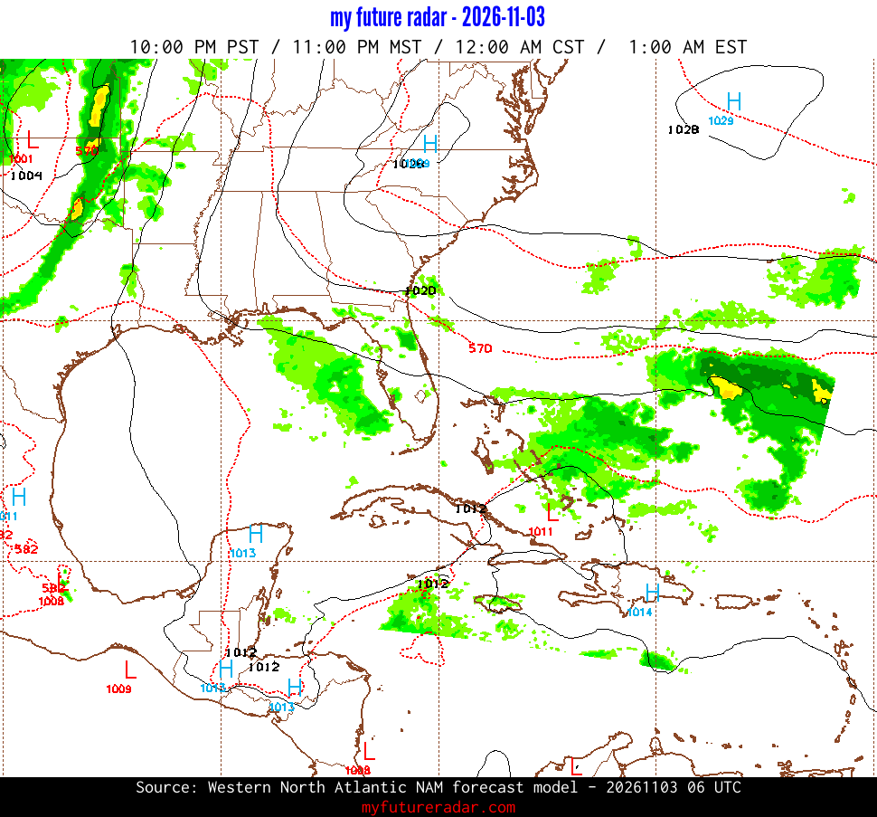
Western North Atlantic NAM - Simulated Radar for
2026-11-03T06:00:00Z
(+0 hours)
jump back to animated radar
Jump to a different time:
2026-11-03T06:00:00Z
|
2026-11-03T12:00:00Z
|
2026-11-03T18:00:00Z
|
2026-11-04T00:00:00Z
|
2026-11-04T06:00:00Z
|
2026-11-04T12:00:00Z
|
2026-11-04T18:00:00Z
|
2026-11-05T00:00:00Z
|
2026-11-05T06:00:00Z
|
2026-11-05T12:00:00Z
|
2026-11-05T18:00:00Z
|
2026-11-06T00:00:00Z
|
2026-11-06T06:00:00Z
|
2026-11-06T12:00:00Z
|
2026-11-06T18:00:00Z
|
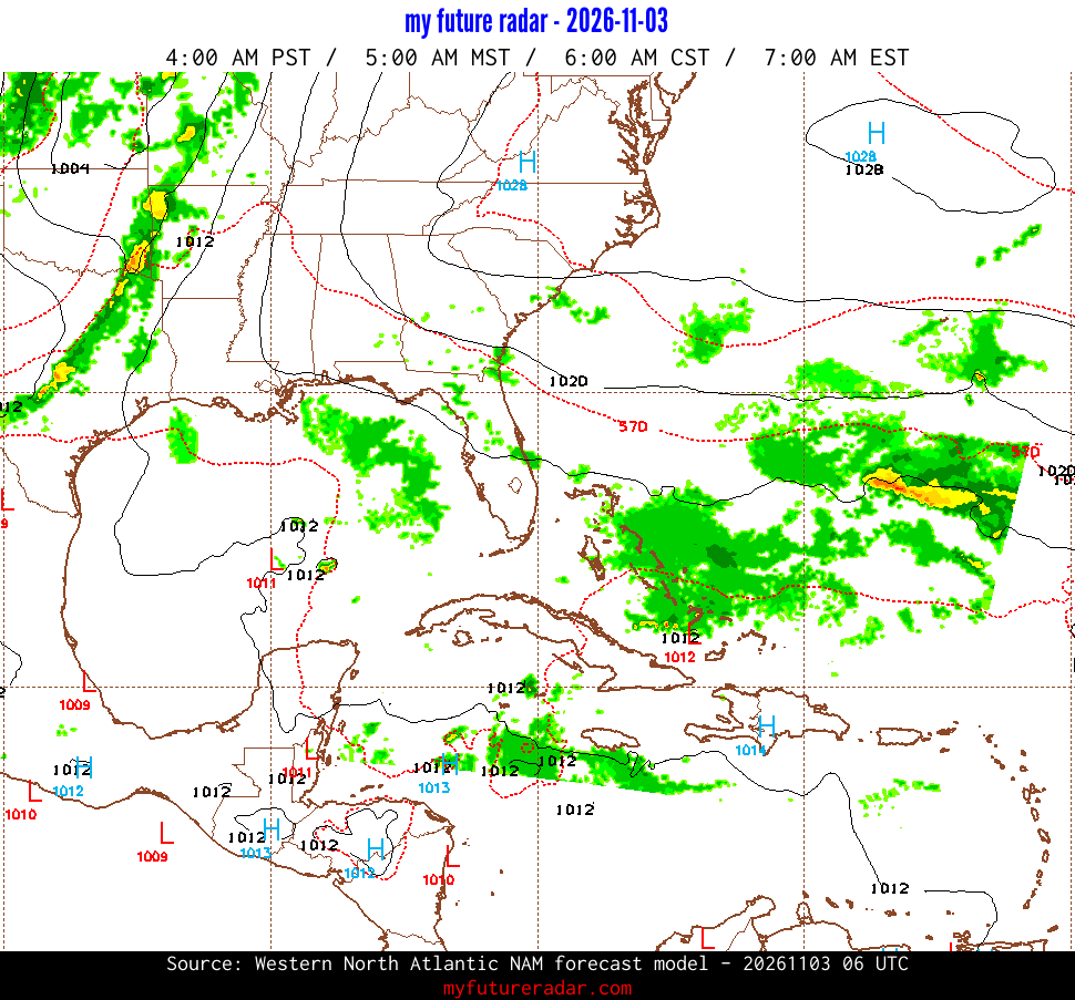
Western North Atlantic NAM - Simulated Radar for
2026-11-03T12:00:00Z
(+6 hours)
jump back to animated radar
Jump to a different time:
2026-11-03T06:00:00Z
|
2026-11-03T12:00:00Z
|
2026-11-03T18:00:00Z
|
2026-11-04T00:00:00Z
|
2026-11-04T06:00:00Z
|
2026-11-04T12:00:00Z
|
2026-11-04T18:00:00Z
|
2026-11-05T00:00:00Z
|
2026-11-05T06:00:00Z
|
2026-11-05T12:00:00Z
|
2026-11-05T18:00:00Z
|
2026-11-06T00:00:00Z
|
2026-11-06T06:00:00Z
|
2026-11-06T12:00:00Z
|
2026-11-06T18:00:00Z
|
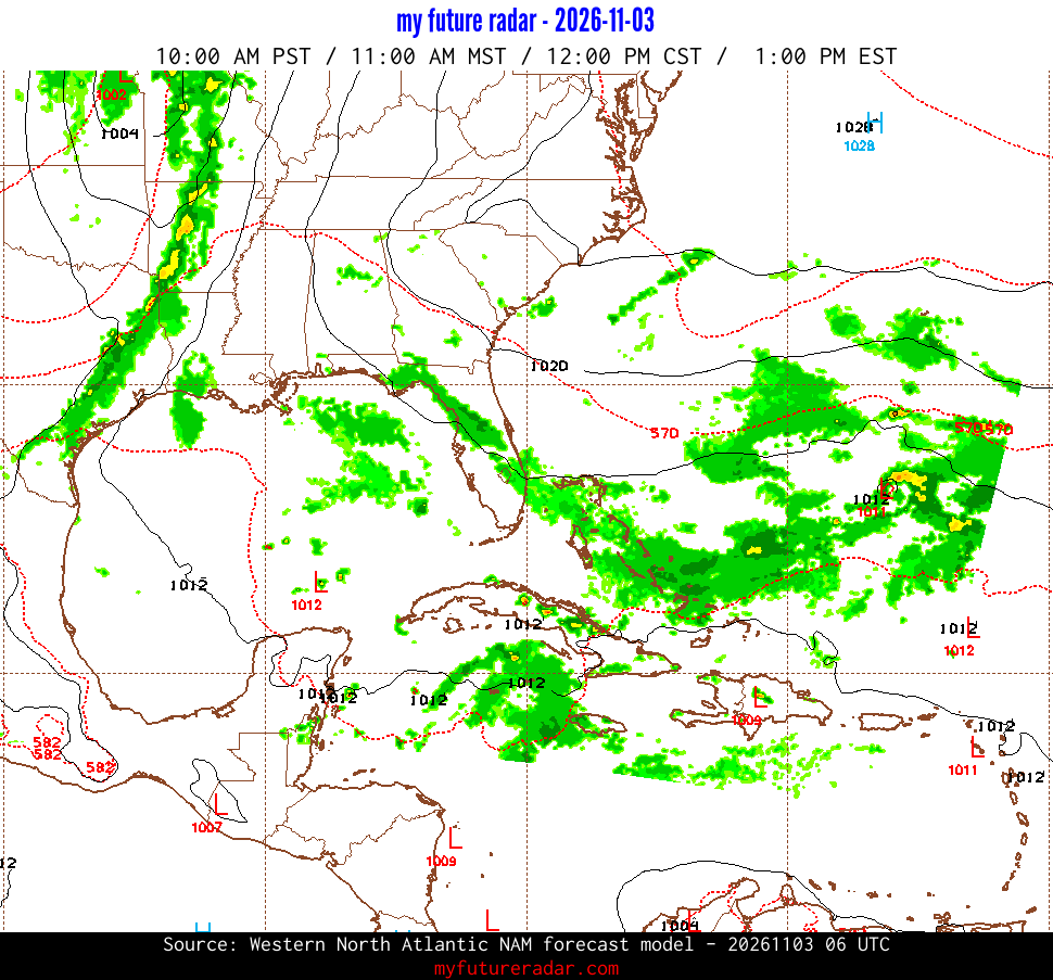
Western North Atlantic NAM - Simulated Radar for
2026-11-03T18:00:00Z
(+12 hours)
jump back to animated radar
Jump to a different time:
2026-11-03T06:00:00Z
|
2026-11-03T12:00:00Z
|
2026-11-03T18:00:00Z
|
2026-11-04T00:00:00Z
|
2026-11-04T06:00:00Z
|
2026-11-04T12:00:00Z
|
2026-11-04T18:00:00Z
|
2026-11-05T00:00:00Z
|
2026-11-05T06:00:00Z
|
2026-11-05T12:00:00Z
|
2026-11-05T18:00:00Z
|
2026-11-06T00:00:00Z
|
2026-11-06T06:00:00Z
|
2026-11-06T12:00:00Z
|
2026-11-06T18:00:00Z
|
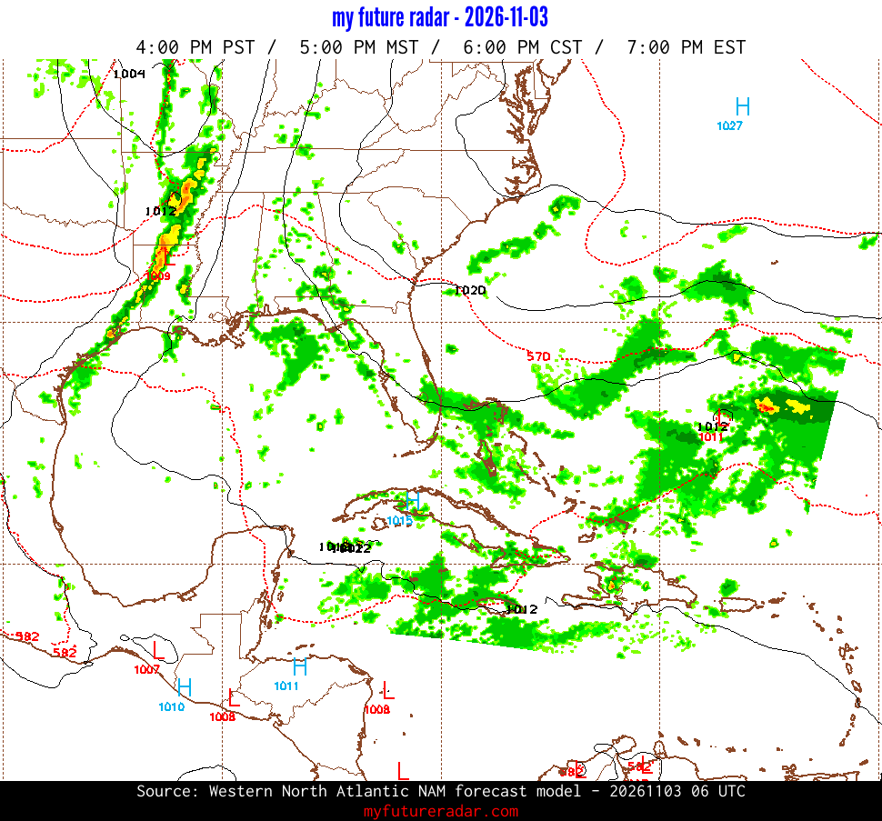
Western North Atlantic NAM - Simulated Radar for
2026-11-04T00:00:00Z
(+18 hours)
jump back to animated radar
Jump to a different time:
2026-11-03T06:00:00Z
|
2026-11-03T12:00:00Z
|
2026-11-03T18:00:00Z
|
2026-11-04T00:00:00Z
|
2026-11-04T06:00:00Z
|
2026-11-04T12:00:00Z
|
2026-11-04T18:00:00Z
|
2026-11-05T00:00:00Z
|
2026-11-05T06:00:00Z
|
2026-11-05T12:00:00Z
|
2026-11-05T18:00:00Z
|
2026-11-06T00:00:00Z
|
2026-11-06T06:00:00Z
|
2026-11-06T12:00:00Z
|
2026-11-06T18:00:00Z
|
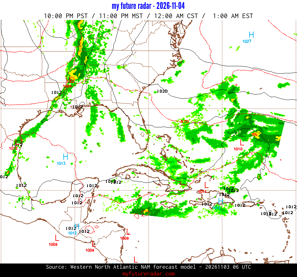
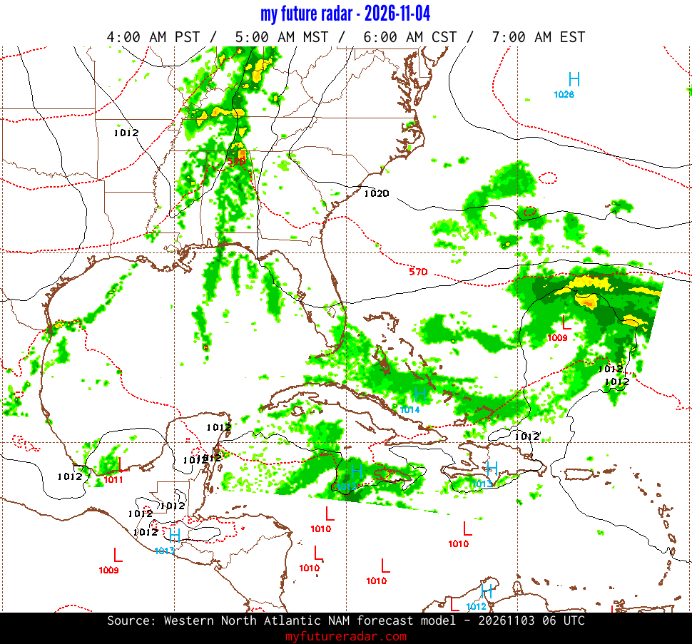
Western North Atlantic NAM - Simulated Radar for
2026-11-04T06:00:00Z
(+24 hours)
jump back to animated radar
Jump to a different time:
2026-11-03T06:00:00Z
|
2026-11-03T12:00:00Z
|
2026-11-03T18:00:00Z
|
2026-11-04T00:00:00Z
|
2026-11-04T06:00:00Z
|
2026-11-04T12:00:00Z
|
2026-11-04T18:00:00Z
|
2026-11-05T00:00:00Z
|
2026-11-05T06:00:00Z
|
2026-11-05T12:00:00Z
|
2026-11-05T18:00:00Z
|
2026-11-06T00:00:00Z
|
2026-11-06T06:00:00Z
|
2026-11-06T12:00:00Z
|
2026-11-06T18:00:00Z
|
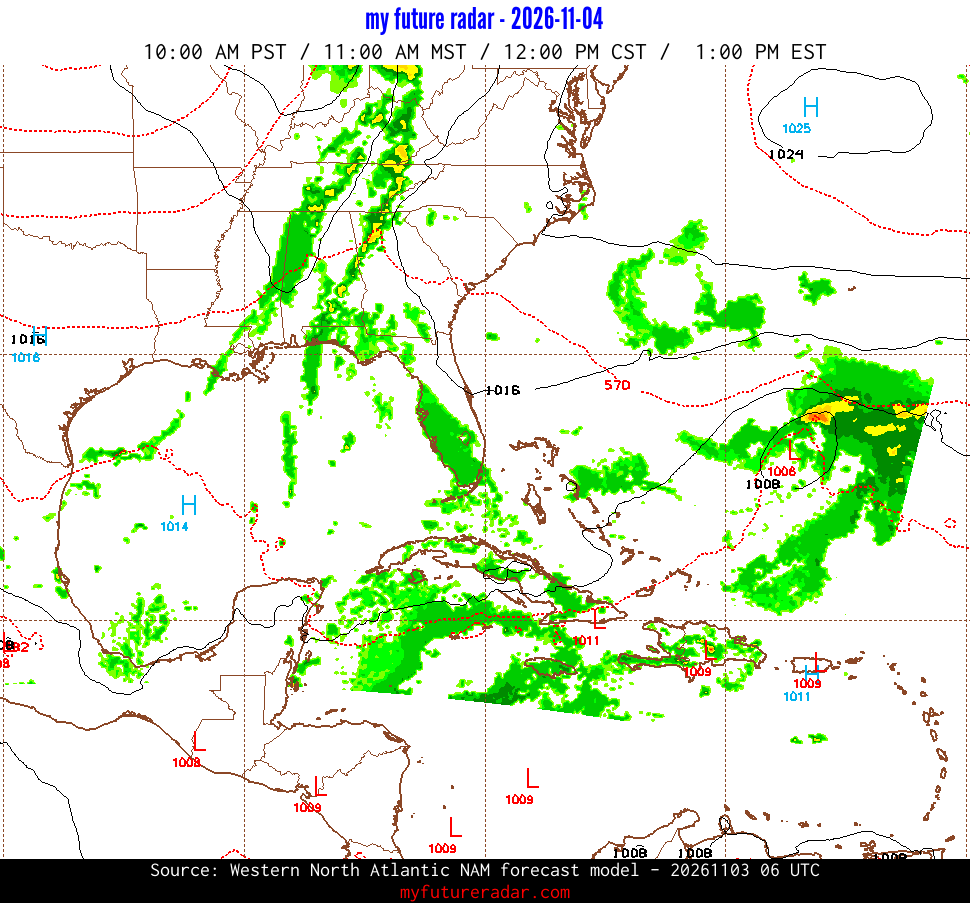
Western North Atlantic NAM - Simulated Radar for
2026-11-04T12:00:00Z
(+30 hours)
jump back to animated radar
Jump to a different time:
2026-11-03T06:00:00Z
|
2026-11-03T12:00:00Z
|
2026-11-03T18:00:00Z
|
2026-11-04T00:00:00Z
|
2026-11-04T06:00:00Z
|
2026-11-04T12:00:00Z
|
2026-11-04T18:00:00Z
|
2026-11-05T00:00:00Z
|
2026-11-05T06:00:00Z
|
2026-11-05T12:00:00Z
|
2026-11-05T18:00:00Z
|
2026-11-06T00:00:00Z
|
2026-11-06T06:00:00Z
|
2026-11-06T12:00:00Z
|
2026-11-06T18:00:00Z
|
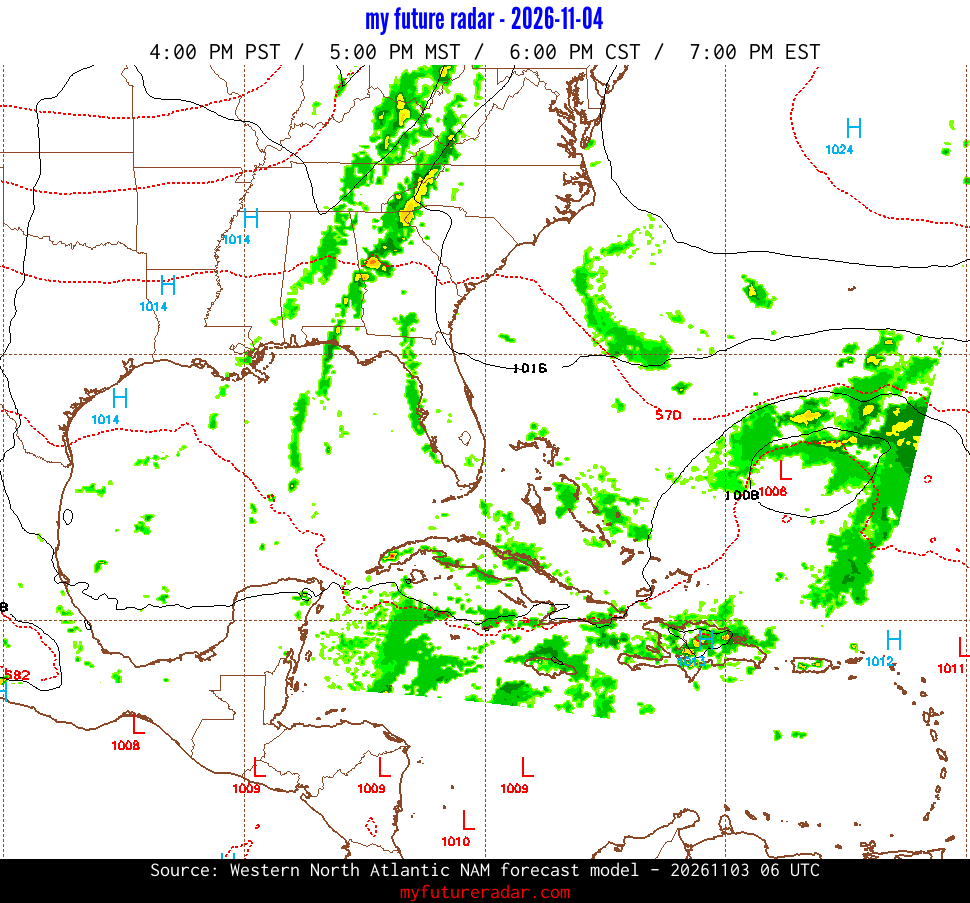
Western North Atlantic NAM - Simulated Radar for
2026-11-04T18:00:00Z
(+36 hours)
jump back to animated radar
Jump to a different time:
2026-11-03T06:00:00Z
|
2026-11-03T12:00:00Z
|
2026-11-03T18:00:00Z
|
2026-11-04T00:00:00Z
|
2026-11-04T06:00:00Z
|
2026-11-04T12:00:00Z
|
2026-11-04T18:00:00Z
|
2026-11-05T00:00:00Z
|
2026-11-05T06:00:00Z
|
2026-11-05T12:00:00Z
|
2026-11-05T18:00:00Z
|
2026-11-06T00:00:00Z
|
2026-11-06T06:00:00Z
|
2026-11-06T12:00:00Z
|
2026-11-06T18:00:00Z
|
Western North Atlantic NAM - Simulated Radar for
2026-11-05T00:00:00Z
(+42 hours)
jump back to animated radar
Jump to a different time:
2026-11-03T06:00:00Z
|
2026-11-03T12:00:00Z
|
2026-11-03T18:00:00Z
|
2026-11-04T00:00:00Z
|
2026-11-04T06:00:00Z
|
2026-11-04T12:00:00Z
|
2026-11-04T18:00:00Z
|
2026-11-05T00:00:00Z
|
2026-11-05T06:00:00Z
|
2026-11-05T12:00:00Z
|
2026-11-05T18:00:00Z
|
2026-11-06T00:00:00Z
|
2026-11-06T06:00:00Z
|
2026-11-06T12:00:00Z
|
2026-11-06T18:00:00Z
|
Western North Atlantic NAM - Simulated Radar for
2026-11-05T06:00:00Z
(+48 hours)
jump back to animated radar
Jump to a different time:
2026-11-03T06:00:00Z
|
2026-11-03T12:00:00Z
|
2026-11-03T18:00:00Z
|
2026-11-04T00:00:00Z
|
2026-11-04T06:00:00Z
|
2026-11-04T12:00:00Z
|
2026-11-04T18:00:00Z
|
2026-11-05T00:00:00Z
|
2026-11-05T06:00:00Z
|
2026-11-05T12:00:00Z
|
2026-11-05T18:00:00Z
|
2026-11-06T00:00:00Z
|
2026-11-06T06:00:00Z
|
2026-11-06T12:00:00Z
|
2026-11-06T18:00:00Z
|
Western North Atlantic NAM - Simulated Radar for
2026-11-05T12:00:00Z
(+54 hours)
jump back to animated radar
Jump to a different time:
2026-11-03T06:00:00Z
|
2026-11-03T12:00:00Z
|
2026-11-03T18:00:00Z
|
2026-11-04T00:00:00Z
|
2026-11-04T06:00:00Z
|
2026-11-04T12:00:00Z
|
2026-11-04T18:00:00Z
|
2026-11-05T00:00:00Z
|
2026-11-05T06:00:00Z
|
2026-11-05T12:00:00Z
|
2026-11-05T18:00:00Z
|
2026-11-06T00:00:00Z
|
2026-11-06T06:00:00Z
|
2026-11-06T12:00:00Z
|
2026-11-06T18:00:00Z
|
Western North Atlantic NAM - Simulated Radar for
2026-11-05T18:00:00Z
(+60 hours)
jump back to animated radar
Jump to a different time:
2026-11-03T06:00:00Z
|
2026-11-03T12:00:00Z
|
2026-11-03T18:00:00Z
|
2026-11-04T00:00:00Z
|
2026-11-04T06:00:00Z
|
2026-11-04T12:00:00Z
|
2026-11-04T18:00:00Z
|
2026-11-05T00:00:00Z
|
2026-11-05T06:00:00Z
|
2026-11-05T12:00:00Z
|
2026-11-05T18:00:00Z
|
2026-11-06T00:00:00Z
|
2026-11-06T06:00:00Z
|
2026-11-06T12:00:00Z
|
2026-11-06T18:00:00Z
|
Western North Atlantic NAM - Simulated Radar for
2026-11-06T00:00:00Z
(+66 hours)
jump back to animated radar
Jump to a different time:
2026-11-03T06:00:00Z
|
2026-11-03T12:00:00Z
|
2026-11-03T18:00:00Z
|
2026-11-04T00:00:00Z
|
2026-11-04T06:00:00Z
|
2026-11-04T12:00:00Z
|
2026-11-04T18:00:00Z
|
2026-11-05T00:00:00Z
|
2026-11-05T06:00:00Z
|
2026-11-05T12:00:00Z
|
2026-11-05T18:00:00Z
|
2026-11-06T00:00:00Z
|
2026-11-06T06:00:00Z
|
2026-11-06T12:00:00Z
|
2026-11-06T18:00:00Z
|
Western North Atlantic NAM - Simulated Radar for
2026-11-06T06:00:00Z
(+72 hours)
jump back to animated radar
Jump to a different time:
2026-11-03T06:00:00Z
|
2026-11-03T12:00:00Z
|
2026-11-03T18:00:00Z
|
2026-11-04T00:00:00Z
|
2026-11-04T06:00:00Z
|
2026-11-04T12:00:00Z
|
2026-11-04T18:00:00Z
|
2026-11-05T00:00:00Z
|
2026-11-05T06:00:00Z
|
2026-11-05T12:00:00Z
|
2026-11-05T18:00:00Z
|
2026-11-06T00:00:00Z
|
2026-11-06T06:00:00Z
|
2026-11-06T12:00:00Z
|
2026-11-06T18:00:00Z
|
Western North Atlantic NAM - Simulated Radar for
2026-11-06T12:00:00Z
(+78 hours)
jump back to animated radar
Jump to a different time:
2026-11-03T06:00:00Z
|
2026-11-03T12:00:00Z
|
2026-11-03T18:00:00Z
|
2026-11-04T00:00:00Z
|
2026-11-04T06:00:00Z
|
2026-11-04T12:00:00Z
|
2026-11-04T18:00:00Z
|
2026-11-05T00:00:00Z
|
2026-11-05T06:00:00Z
|
2026-11-05T12:00:00Z
|
2026-11-05T18:00:00Z
|
2026-11-06T00:00:00Z
|
2026-11-06T06:00:00Z
|
2026-11-06T12:00:00Z
|
2026-11-06T18:00:00Z
|
Western North Atlantic NAM - Simulated Radar for
2026-11-06T18:00:00Z
(+84 hours)
jump back to animated radar
Jump to a different time:
2026-11-03T06:00:00Z
|
2026-11-03T12:00:00Z
|
2026-11-03T18:00:00Z
|
2026-11-04T00:00:00Z
|
2026-11-04T06:00:00Z
|
2026-11-04T12:00:00Z
|
2026-11-04T18:00:00Z
|
2026-11-05T00:00:00Z
|
2026-11-05T06:00:00Z
|
2026-11-05T12:00:00Z
|
2026-11-05T18:00:00Z
|
2026-11-06T00:00:00Z
|
2026-11-06T06:00:00Z
|
2026-11-06T12:00:00Z
|
2026-11-06T18:00:00Z
|
what is my future radar?
On My Future Radar,
you can see the future.
Or at least, what the weather forecast models
think
the future will be.
You are on the page that displays data from the
Western North Atlantic NAM forecast model.
The available forecast imagery for this model ends at
2026-11-06T18:00:00Z .
About My Future Radar
My Future Radar uses data from the
Rapid Refresh
and the
NAM
forecast models to provide simulated future radar imagery.
The Rapid Refresh model is run hourly and is useful for short term
forecasting. The North American Mesoscale Forecast System (NAM) is run 4
times a day and typically has data from now to 2.5 days in the future.
You might also be interested in
hurricane / typhoon / cyclone tracking
on cyclocane.